Mapping the Unknown: The Art and Science of Historical Cartography
Historical cartography reveals how ancient maps shaped our view of the world and the art behind crafting them through ages.
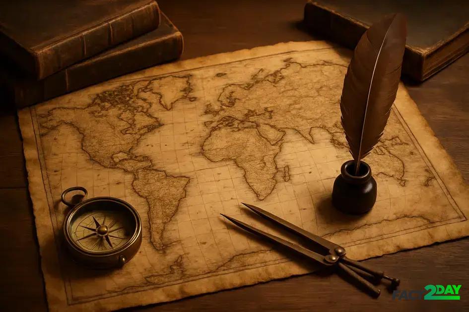
Historical cartography is the study and creation of maps throughout history, combining artistic skill and scientific methods to represent geographic knowledge, shape exploration, and influence cultures.
Have you ever wondered how we came to understand our world beyond the horizons? Historical cartography offers a fascinating glimpse into the early art and science of mapmaking. Let’s explore how these ancient creations shaped navigation and culture.
the evolution of historical cartography
The evolution of historical cartography spans centuries, showing how early societies began illustrating their understanding of the world. Ancient maps were often symbolic rather than precise, reflecting myths, religious beliefs, and limited geographic knowledge.
The Beginnings of Mapmaking
Early civilizations like the Babylonians and Egyptians created some of the first maps, usually etched on clay tablets or papyrus. These were simple depictions, highlighting important landmarks and territories surrounding their own regions.
Advancements in the Middle Ages
During the Middle Ages, cartography combined religious ideas with emerging geographic knowledge. The mappa mundi is a famous medieval world map showing Jerusalem at the center of the world, blending geography with spirituality.
Renaissance and Scientific Progress
The Renaissance brought a major shift. With explorers like Columbus and Magellan expanding known horizons, mapmakers began using more accurate methods. Tools like the compass, astrolabe, and improved understanding of latitude and longitude helped create detailed, reliable maps. Historical cartography grew into a precise science and an art form, capturing new lands and ideas more faithfully.
techniques and tools used in creating ancient maps
Creating ancient maps required a unique set of techniques and tools that combined art, geography, and emerging science. Early mapmakers relied on observation, sketches, and measurements to represent the world around them.
Drawing and Symbolism
Most ancient maps began as hand-drawn images on materials like parchment, vellum, or even stone. Artists used symbols, colors, and shapes to convey information about landscapes, cities, and borders. These drawings were not always to scale but focused on important features.
Measuring Instruments
Tools such as the compass, astrolabe, and quadrant were essential in improving accuracy. The compass helped determine direction, while the astrolabe and quadrant measured celestial positions to calculate latitude. These instruments marked a major advancement in historical cartography.
Surveying and Exploration
Surveying techniques, though primitive by today’s standards, involved pacing distances, using sightlines, and recording landmarks. Explorers brought back new information, which mapmakers incorporated, gradually enriching maps with more precise data.
the impact of historical maps on culture and exploration
Historical maps played a crucial role in shaping culture and exploration throughout centuries. These maps were not just tools for navigation but also symbols of power, knowledge, and discovery.
Maps as Cultural Artifacts
Maps often reflected the worldview and beliefs of the cultures that created them. They included artistic elements, mythical creatures, and religious landmarks. This made maps important cultural documents that influenced how societies perceived themselves and others.
Driving Exploration and Discovery
Explorers relied on maps to venture into unknown territories. As new lands were discovered, maps were updated, fueling further voyages and colonization. This cycle expanded geographical knowledge and interconnected different parts of the world.
Influence on Politics and Trade
Maps helped rulers claim territories and control trade routes. Accurate cartography became a strategic asset in managing empires and negotiating treaties. Over time, the spread of maps contributed to global trade networks and cultural exchange, shaping modern world history.
Understanding the importance of historical cartography
Historical maps are much more than images on paper; they provide insights into how people once saw their world. They helped explorers reach new lands and shaped cultures, politics, and trade.
By studying these old maps and the techniques used to create them, we gain a better understanding of our shared history and the progress of science and art in mapping.
Historical cartography continues to inspire us today, reminding us how far we have come and how essential maps are in connecting the world.