Beyond the Edge of the World: History’s Strangest, Most Fantastic, and Most Deceptive Maps
Mapas antigos bizarros revelam mundos estranhos e desconcertantes que desafiam nossa visão da Terra e da história. Descubra suas histórias misteriosas.
Bizarre ancient maps display distorted geographies, mythical symbols, and imaginative errors that reflect historical beliefs, cultural myths, and early geographic knowledge limitations.
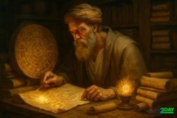
Have you ever wondered what bizarre ancient maps hide? By exploring these figures that defy logic and geography, we can travel through time and imagination, encountering maps that go far beyond the ordinary.
Maps that defy known geography
Many ancient maps challenge our basic understanding of geography by presenting coastlines, islands, and continents that do not match reality. These maps often include unknown lands at the edges of the world that explorers never found. For example, the famous Piri Reis map from 1513 shows parts of South America and Antarctica with surprising detail, long before Antarctica was officially discovered.
Uncharted territories and speculative lands
Cartographers in the past filled gaps in knowledge with imaginary islands or entire continents. These speculative lands sometimes reflected myths or hopes, like the legendary Terra Australis, believed to balance the northern continents. Such creations reveal the limits of exploration and how mapmakers balanced fact and fiction.
Unexpected distortions and placements
Some ancient maps depict places out of place, with distorted proportions or strange orientations. These inaccuracies might come from relying on hearsay, misinterpretation of travel tales, or limited technology. Despite errors, these maps offer a unique glimpse into historical worldviews and the evolving knowledge of our planet.
Exploring these bizarre ancient maps encourages us to question how knowledge is constructed and how imagination shaped early geography.
symbolism and myths in ancient maps
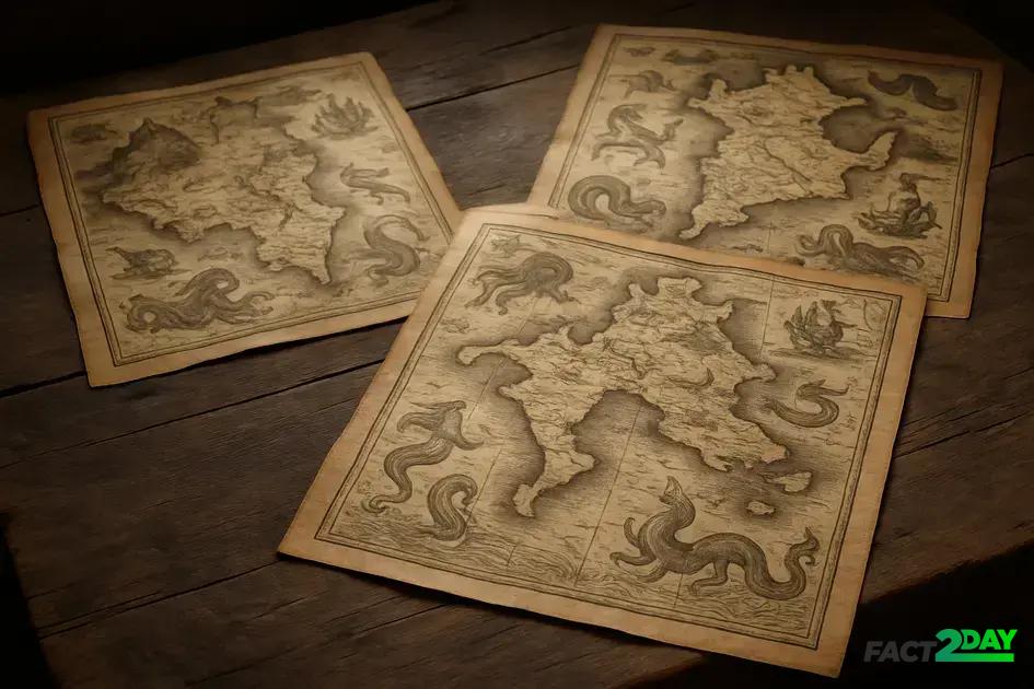
Many ancient maps are filled not only with geographical details but also with rich symbolism and mythical elements. These symbols often represent cultural beliefs, religious ideas, or warnings for travelers. For example, sea monsters drawn along coastlines served to warn sailors of dangerous waters or unexplored territories.
Meaning of symbols in ancient maps
Icons such as dragons, mermaids, and strange creatures depict fears and imaginations of the unknown. Religious and mythical symbols like crosses or sacred mountains often pointed to important places or conveyed spiritual significance, blending geography with belief.
Myths shaping map designs
Legends about lost cities, hidden treasures, or fantastical lands like Atlantis inspired mapmakers to include these stories in their works. This mix of fact and fiction highlights how maps also expressed cultural myths and hopes, influencing how people understood the world.
Recognizing these symbols helps us uncover the deep connection between ancient cartography and the myths that shaped early human understanding.
Error and Imagination: When Maps Tell False Stories
Ancient maps often contain errors and imaginative elements that mislead viewers. These inaccuracies may result from limited knowledge, miscommunication, or intentional additions by cartographers. Some maps included non-existent lands or misplaced features, which led to persistent myths and false beliefs.
Reasons behind errors in old maps
Explorers relied on rough observations and traveler tales, which sometimes caused distortions. Lack of technology for accurate measurement and the urge to fill unknown spaces led to creative interpretations. Mistakes like reversed coastlines or exaggerated sizes were common.
When imagination shapes cartography
Mapmakers occasionally added fictional continents, cities, or islands to intrigue or impress their audience. These fictitious elements sometimes served political or economic agendas by suggesting claims to unknown territories. Over time, some of these myths took on a life of their own, affecting exploration and beliefs.
Understanding the blend of error and imagination in ancient maps reveals how history, culture, and human nature influenced early geography.
Understanding the impact of strange ancient maps
Ancient maps with their mix of errors, imagination, and symbolism tell us much more than geography. They reveal how people once saw the world, blending facts with myths and hopes. These maps remind us that knowledge grows over time, shaped by discovery and creativity.
By studying these curious maps, we gain insight into history and human nature, learning to appreciate the stories behind the lines and shapes. This helps us see the past with a new perspective and recognize the power of imagination in shaping our view of the world.